


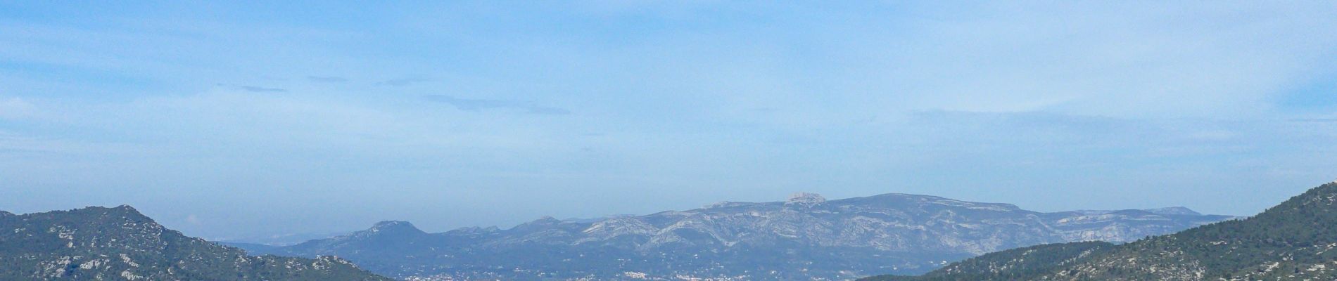
CUGES LES PONS

michelpaulin
User
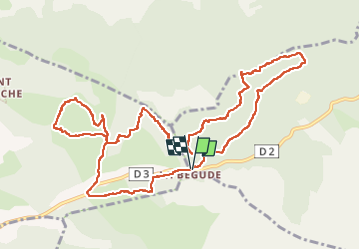

Length
14.1 km

Max alt
498 m

Uphill gradient
338 m
Km-Effort
18.6 km

Min alt
383 m

Downhill gradient
337 m
Boucle
Yes
Creation date :
2024-03-19 08:45:50.0
Updated on :
2024-03-19 16:30:17.737

FREE GPS app for hiking
 SityTrail
IGN / Geographical institutes
SityTrail Plus
The world is yours!
About
Trail of 14.1 km to be discovered at Provence-Alpes-Côte d'Azur, Var, Le Castellet. This trail is proposed by michelpaulin.
Photos


Positioning
Country:
France
Region :
Provence-Alpes-Côte d'Azur
Department/Province :
Var
Municipality :
Le Castellet
Location:
Unknown
Start:(Dec)
Start:(UTM)
719608 ; 4791212 (31T) N.
Comments